Room II · Colonial Mexico
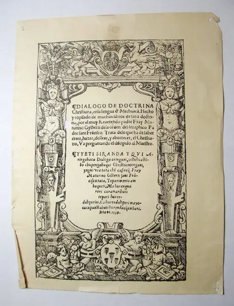
Map of the province of New Castile, 1588
Anonymous artist
Printed on paper in one ink. Map of the Province of New Castile from 1588 with the convents of the Carmelite order.
- Classification
- Printed matter
- Date
- 1519–1821 · 16th century
- Material
- Paper
- Dimensions
- 28.2 × 19.5 × 0.1 cm
- Inventory no.
- MUNAG.043.02532
- Credits
- Curator: Gabriela Zesati · Fotografía: Israel Salinas
Room II
In the same room
Introduction to the dialectic of Aristotle
Printed matter · Colonial Mexico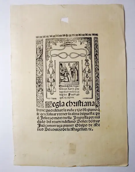
Priest blessing, leaf printed by Juan Pablos
Printed matter · Colonial Mexico
Neoclassical engraving with arches and cherubs
Printed matter · Colonial Mexico